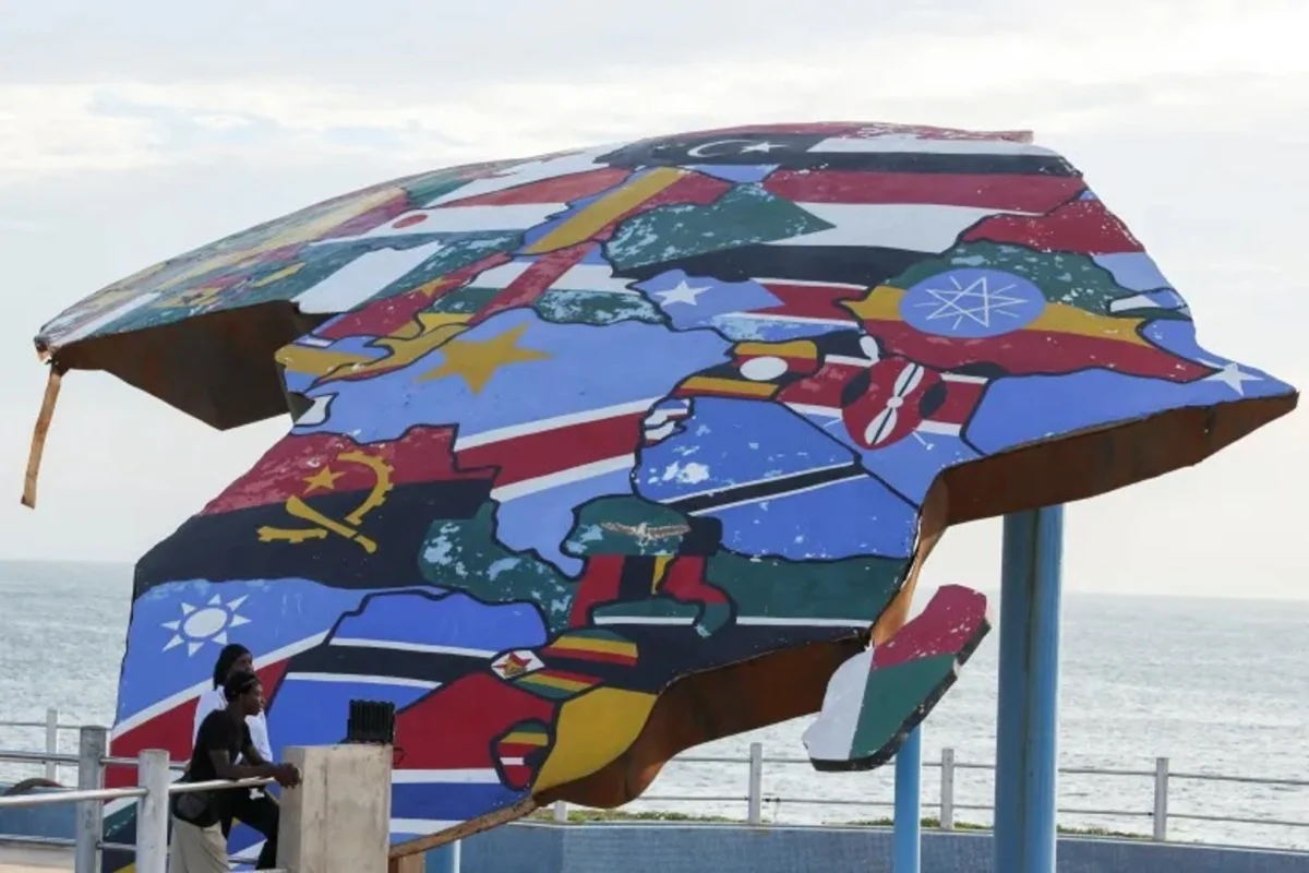
The UN General Assembly has approved a resolution to adopt new maps that more accurately depict the true size of Africa, correcting historical distortions in global cartography. This move aims to address the underrepresentation of Africa’s actual dimensions, which have often been minimized in traditional world maps.
The decision follows growing calls for cartographic accuracy, particularly regarding Africa, the world’s second-largest continent. The new maps are expected to reflect a more precise representation of Africa’s landmass compared to other regions.
KEY FACTS
- The UN General Assembly has backed a resolution to update global maps.
- The new maps will more accurately show Africa’s true size.
- The change addresses long-standing distortions in how Africa’s dimensions are represented.
Why Is This Change Necessary?
Traditional world maps, such as the Mercator projection, have long been criticized for distorting the sizes of landmasses, particularly those near the equator. Africa, which spans approximately 30 million square kilometers, often appears significantly smaller than it actually is in these representations. The new resolution seeks to rectify these inaccuracies, ensuring that Africa’s true scale is recognized.
What Happens Next?
The UN’s approval marks a formal step toward implementing the updated maps. The resolution will likely influence educational materials, digital mapping services, and global atlases. However, the adoption process may vary by country and organization, as the UN’s decision serves as a recommendation rather than a mandate.
WHAT WE KNOW — AND WHAT WE DON’T
Verified by the source:
- The UN General Assembly has passed a resolution supporting updated maps.
- The new maps will correct distortions in the representation of Africa’s size.
Still unconfirmed:
- The specific timeline for implementing the new maps across global platforms.
- Whether all member states will adopt the updated cartographic standards.
WHY IT MATTERS
Accurate geographic representation is crucial for education, diplomacy, and global perception. Correcting the skewed portrayal of Africa’s size reinforces the continent’s significance on the world stage and challenges historical biases embedded in cartography.
WHAT TO WATCH
The next steps include monitoring how quickly and widely the updated maps are adopted by countries, educational institutions, and digital platforms like Google Maps. The resolution’s impact on public awareness of cartographic accuracy will also be significant.