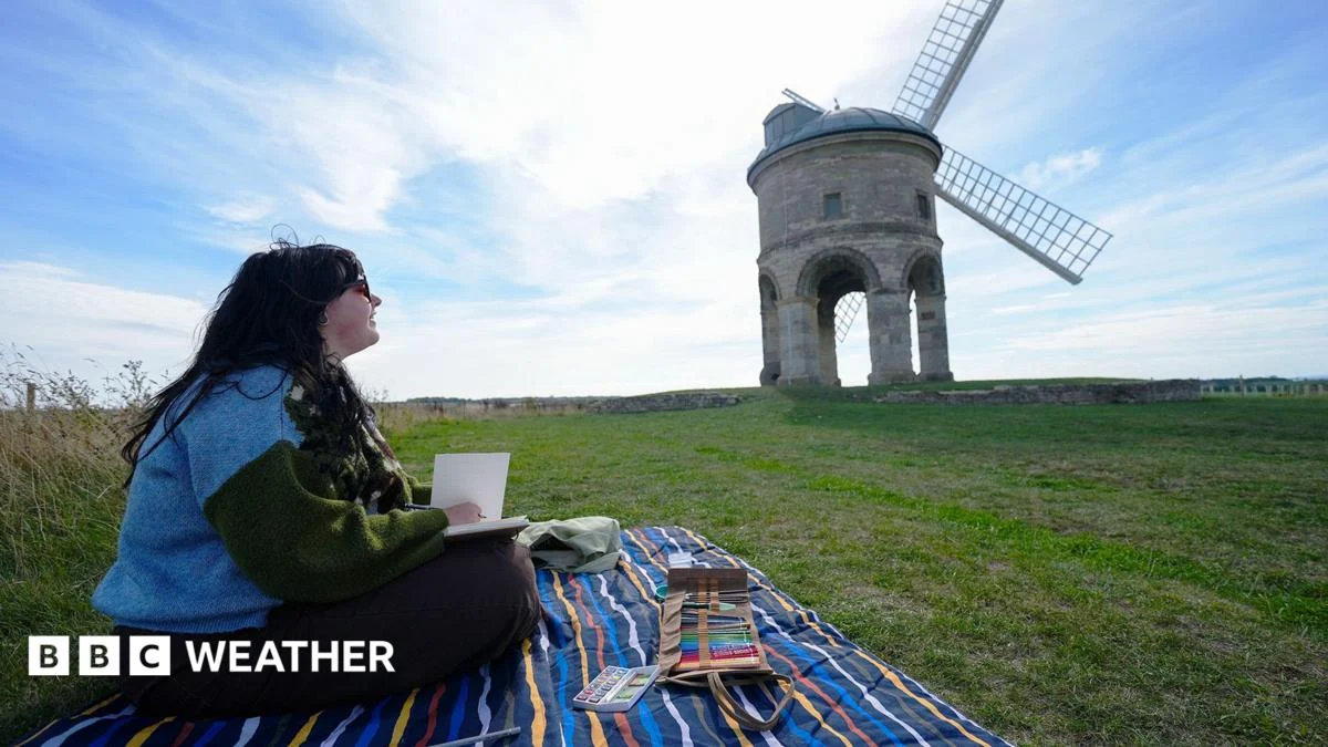
Temperatures are expected to climb to 26C on Tuesday, marking a notable burst of late September warmth across the region. The rise comes as weather patterns shift, offering an unseasonably mild interlude for this time of year. A very warm night is also forecast to follow, extending the unusual conditions into the evening. Meteorologist Simon King has highlighted the significance of these above-average temperatures, noting their deviation from typical late September norms.
Key Facts
- Temperatures are expected to reach 26C on Tuesday.
- The forecast reflects a burst of late September warmth.
- A very warm night is predicted to follow the daytime highs.
- Simon King provides the weather explanation for the unseasonable warmth.
- The temperatures are rising well above the late September average.
Story
What does the late September warmth mean for the region?
The anticipated peak of 26C represents a sharp departure from the seasonal norm for late September, when average temperatures typically range between 15C and 18C. This elevated reading suggests a transient high-pressure system is influencing the region’s weather, channeling warmer air from continental Europe or the subtropics. Such spikes are not unprecedented, but they can catch residents off guard, particularly those who have already transitioned to autumn routines and heating schedules. The associated very warm night compounds the impact, as overnight relief becomes scarce, potentially affecting sleep quality and increasing energy demands for cooling.
How did this late September warmth develop?
The current forecast aligns with broader atmospheric shifts that often occur during the autumn transition period. As summer gradually yields to fall, pressure systems can realign, sometimes creating temporary ridges that block cooler northern air masses. These ridges can persist for several days, allowing warm air to accumulate over a region. Simon King, whose insights are frequently featured in BBC weather reporting, notes that such bursts are often short-lived but can be intense enough to disrupt local climate expectations. The specific trajectory of this high-pressure influence remains under close observation by forecasters.
Who is affected by the late September warmth?
Residents across the affected areas will experience the immediate effects of the late September warmth, with potential impacts on daily activities, agriculture, and energy consumption. Gardeners and farmers may need to adjust irrigation or harvesting plans, as higher temperatures can accelerate crop development or stress plants unaccustomed to heat. Urban populations might face increased demand for cooling, particularly during the very warm night expected to follow. Health officials often monitor such anomalies closely, as extended warmth can pose risks to vulnerable groups, including the elderly and those with pre-existing medical conditions.
What We Know — and What We Don’t
Verified by the source:
- Temperatures are projected to reach 26C on Tuesday.
- The reading is well above the late September average.
- A very warm night is expected to follow.
- Simon King is cited as the weather explainer.
- The warm spell is described as a burst of late September warmth.
Still unconfirmed:
- The exact geographic areas most affected by the warmth.
- How long the above-average temperatures will last.
- The specific meteorological mechanisms driving the high-pressure system.
Why It Matters
Unseasonable warmth during late September can disrupt agricultural cycles, increase energy demand, and raise public health concerns. For individuals planning outdoor activities or managing sensitive environments, awareness of these brief but impactful shifts is essential.
What To Watch
Forecasters are expected to release updated models within the next 24 hours, which may clarify the duration and regional scope of the late September warmth.
“