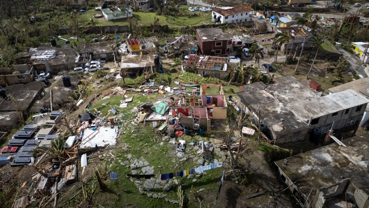
Hurricane Polo has strengthened into a Category 5 hurricane off the Pacific coast of Mexico, marking a significant escalation in its intensity. This classification places Polo among the most powerful tropical cyclones, with sustained wind speeds reaching the highest threshold on the Saffir-Simpson scale. The storm’s rapid intensification underscores the dynamic and unpredictable nature of hurricanes in this region.
Category 5 hurricanes are the most severe on the Saffir-Simpson scale, typically defined by sustained winds of at least 157 mph (252 km/h). These storms pose catastrophic risks to life and infrastructure, often causing widespread destruction. The presence of such a storm near Mexico’s Pacific coast raises immediate concerns for coastal communities, maritime activity, and emergency preparedness efforts in the affected areas.
Key Facts
- Polo is now a Category 5 hurricane.
- Located off Mexico’s Pacific coast.
- Reported by AP News within the past 12 hours.
- Hurricane strength increased rapidly.
What happens next?
The trajectory and future intensity of Hurricane Polo will largely depend on prevailing atmospheric conditions, including wind shear, ocean temperatures, and interaction with landmasses. Forecasting models can shift significantly over short periods, especially with rapidly intensifying storms like Polo. Meteorologists continue to monitor the system closely, providing updates that guide emergency management decisions and public advisories. The National Hurricane Center and local officials in Mexico are likely coordinating responses to protect lives and property, particularly in low-lying coastal zones where storm surge and flooding pose the greatest threats. Residents in potentially affected areas should remain vigilant, follow evacuation orders if issued, and stay informed through official weather channels.
Who is affected?
Coastal regions along Mexico’s Pacific coast are the primary population centers at risk from Hurricane Polo. These areas often include densely populated cities, fishing villages, and tourist destinations, all of which may face disruptions due to the storm. Agricultural zones and infrastructure, such as roads and power lines, could suffer damage depending on how close the storm makes landfall. Tourists and visitors in port cities like Puerto Vallarta or Acapulco may also experience travel delays, port closures, and cancellations of excursions. Additionally, international observers and shipping industries monitor such developments due to their potential impact on global trade routes and supply chains. As the situation evolves, humanitarian organizations and regional governments are expected to coordinate relief and safety measures to minimize harm to people and communities in the storm’s projected path.
What we know and don’t
Verified by the source:
- Polo has strengthened to a Category 5 hurricane.
- The storm is located off Mexico’s Pacific coast.
- The information was published by AP News and indexed via Google News within the last 12 hours.
Still unconfirmed:
- Exact current location coordinates of the storm center.
- Maximum sustained wind speeds and minimum central pressure.
- Potential landfall timing or trajectory projections.
- Number of people affected or evacuation orders issued.
Why it matters
The development of Hurricane Polo into a Category 5 system highlights the growing volatility of climate-related disasters in regions already vulnerable to extreme weather. For millions of residents along Mexico’s Pacific coast, this means heightened risks to safety, economic stability, and access to essential services. Beyond immediate impacts, such events contribute to broader discussions about climate resilience, disaster preparedness, and long-term adaptation strategies across Latin America and the Caribbean. Coastal nations frequently bear disproportionate consequences from hurricanes, despite contributing the least to global greenhouse gas emissions — underscoring the urgent need for international cooperation and sustainable development policies.
What to watch
Updates on Hurricane Polo’s movement, strength changes, and potential impacts will continue to be tracked by weather authorities. Further confirmation from satellite imagery or aircraft reconnaissance missions may refine forecasts in the coming hours.