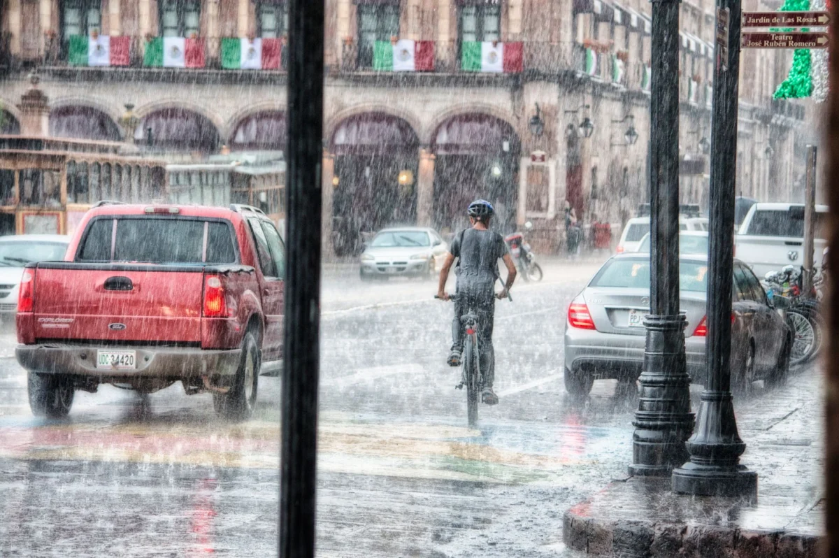
Hurricane Polo continues to track offshore Mexico, bringing heavy rains to coastal regions as the storm prepares to make landfall Sunday night,Reuters reported.
The strengthening tropical system has already begun impacting weather along Mexico’s Pacific coast, with officials monitoring its projected path closely. Heavy rainfall associated with the storm is expected to continue through the weekend.
Hurricane Polo’s approach has prompted heightened monitoring by regional weather services,though precise impacts will depend on final storm positioning before Sunday night. Residents in low-lying coastal areas remain on alert for potential flooding risks.
KEY FACTS
- Hurricane Polo is currently tracking offshore Mexico.
- Heavy rains are impacting parts of Mexico.
- The storm is expected to make landfall Sunday night.
- Forecasts are based on Reuters reporting.
The Storm Approaching the Pacific Coast
Hurricane Polo’s offshore track places it near vulnerable coastal zones while moving toward landfall.Such systems often generate significant rain bands extending inland,which explains the current heavy rainfall observations along the Mexican coast.
The Pacific coastline has experienced periodic tropical influences throughout the season,but Hurricane Polo represents one of the more notable disturbances in recent weeks.Ahead of any official evacuations or warnings,it remains critical for populations to monitor local advisories as the situation develops through Saturday.
Meteorologists typically use satellite imagery along with buoy and aircraft data to refine Hurricane Polo’s forecast track and intensity estimates.These factors help determine whether the core of the storm remains offshore or shifts closer to populated regions during Sunday night’s expected arrival.
What happens next?
In the coming hours,Hurricane Polo is projected to maintain forward motion toward the Mexican coastline while gradually strengthening.Whether the storm makes direct landfall Sunday night or passes slightly offshore will largely determine its ultimate impact.
Coastal communities should expect continued swells and localized flooding from persistent rainfall bands.Evacuation procedures,emergency supplies,and public transit disruptions may become necessary if Hurricane Polo’s trajectory shifts northward or intensifies beyond initial projections.
Authorities continue tracking real-time atmospheric shifts while preparing response protocols tailored around possible scenarios.Hurricane Polo currently poses the greatest uncertainty in timing and location,leaving room for adjustments to forecasts overnight.
Hurricane Polo Background and Regional Risk
Hurricane Polo formed as part of seasonal tropical activity patterns common in the northeastern Pacific Ocean basin.These regions regularly see heightened cyclonic development due to warm sea surface temperatures and favorable wind shear conditions conducive to storm formation.
Previous impacts in similar areas have included flooding,damaged infrastructure,and temporary relocations.Failure to act can lead to injuries or worse when Hurricane Polo’s rains begin overwhelming drainage systems near populated zones.
Emergency management agencies coordinate responses using established protocols developed after earlier hurricanes.These include pre-positioned resources like sandbags,emergency generators,and medical teams deployed strategically along Hurricane Polo’s expected path across affected regions today.
What We Know — and What We Don’
Verified by the source:
- Hurricane Polo is tracking offshore Mexico.
- Heavy rains have hit portions of Mexico.
- Landfall is expected Sunday night.
- Updates originate from Reuters via Google News indexing.
Still unconfirmed:
- Exact location of landfall along Mexico’s coast.
- Intensity classification at time of landfall.
- Specific municipalities affected by flooding.
- Number of residents under evacuation orders.
- Potential economic losses from Hurricane Polo.
Why It Matters
Hurricane Polo threatens densely populated coastal corridors where drainage systems may be overwhelmed by torrential rains.Flooding from slow-moving systems can isolate neighborhoods,disrupt supply chains,and strain emergency resources.Whether Hurricane Polo escalates into a stronger Category storm or weakens remains uncertain,but preparation saves lives regardless of final intensity at landfall Sunday night.
What To Watch
Continued satellite monitoring of Hurricane Polo’s core structure will clarify whether it maintains strength through Sunday night.Likewise,local authorities must update evacuation procedures as new information emerges about which coastal areas face direct exposure to Hurricane Polo’s powerful winds tonight.
Heavy rains and Hurricane Polo threaten Mexico ahead of Sunday night landfall,Reuters reports.