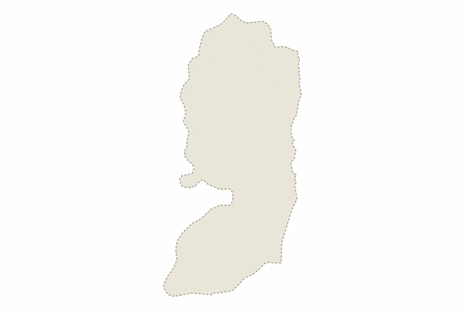
An animated map illustrates the geographic spread of illegal Israeli settlements across Palestinian territories, showing their expansion over time. The visualization accompanies reporting indicating approximately 750,000 settlers now live in more than 500 illegal Israeli settlements and outposts. These settlements remain a focal point of international dispute and ongoing tension in the region.
The animated map provides a visual representation of how illegal Israeli settlements have expanded geographically across Palestinian areas. It highlights the density and distribution of settlement activity, emphasizing the scope of civilian presence in contested territories. The accompanying data references both formalized settlements and informal outposts, underscoring the breadth of the phenomenon. Settlements continue to shape demographics, land use, and access to resources in the occupied Palestinian territories. Their presence influences movement restrictions, security dynamics, and negotiations regarding territorial boundaries. The map serves as a reference point for understanding the physical landscape of the conflict, though the classification of their legality remains contested internationally.
Key Facts
- Illegal Israeli settlements number over 500 across Palestinian territories.
- Approximately 750,000 settlers inhabit these settlements and outposts.
- Animated map visualizes the geographic spread of illegal Israeli settlements.
- Settlements include both formalized communities and informal outposts.
Who is affected by illegal Israeli settlements?
The expansion of illegal Israeli settlements directly affects Palestinian residents, whose access to land, water, and services may be altered by settlement proximity and associated infrastructure. International observers and diplomatic bodies also monitor the situation, as the status of settlements influences peace negotiations and compliance with international law. Israeli settlers themselves are impacted by government policies determining settlement support, security, and integration within existing or prospective borders.
Disputes over land ownership, zoning, and resource allocation frequently arise near settlement sites. Palestinian communities sometimes face restrictions on construction or agricultural activity in areas adjacent to settlements. Cross-border coordination between local authorities, international agencies, and humanitarian organizations attempts to address service delivery, but limitations in access and jurisdiction complicate interventions. Movement checkpoints and road networks linked to settlements can disrupt daily life for surrounding residents, affecting employment, education, and healthcare access for Palestinians living nearby.
Legal frameworks and diplomatic stances further determine how affected populations navigate property claims and residency rights. Courts in multiple jurisdictions have reviewed petitions related to settlement expansion, though enforcement of rulings varies. Humanitarian organizations track displacement and access challenges tied to settlement-related policies, documenting cases such as restricted building permits and land seizure notifications. International funding mechanisms occasionally condition aid or development projects on compliance with guidelines governing settlement activity. Coordination among stakeholders remains limited, contributing to protracted grievances and periodic unrest in settlement-adjacent areas. These impacts underscore the enduring relevance of settlement-related data to civilian welfare and regional stability.
What happens next for illegal Israeli settlements?
Future developments regarding illegal Israeli settlements depend largely on domestic political decisions and international diplomatic responses. Ongoing negotiations between Israeli and Palestinian authorities could redefine settlement policies or territorial arrangements, though past discussions have struggled to resolve core disagreements. International bodies may issue new resolutions or sanctions targeting settlement expansion, while individual countries might adjust bilateral relations based on settlement-related criteria. Monitoring organizations continue collecting satellite imagery and ground-level data to track changes in settlement boundaries and population growth.
Regional actors also influence potential outcomes, with neighboring states expressing varying degrees of concern or support for current settlement policies. Economic factors play a role as well, since trade agreements and investment flows sometimes reflect positions on settlement-related commerce. Legal challenges filed in national and international courts could result in rulings affecting future construction or expropriation activities. Public demonstrations and advocacy campaigns add pressure to either endorse or restrict settlement expansion, keeping the issue prominent in media coverage and electoral discourse alike.
What We Know — and What We Don’t
Verified by the source:
- The animated map depicts settlement spread across Palestinian territories.
- More than 500 illegal Israeli settlements and outposts exist.
- Approximately 750,000 settlers live in these settlements.
Still unconfirmed:
- Exact timeline or dates covered by the animated map.
- Specific locations or names of all settlements included.
- Whether reported settler numbers include outpost residents.
- Motivations or policy directives behind recent settlement activity.
Why It Matters
The distribution and scale of illegal Israeli settlements influence broader questions of sovereignty, security, and human rights in the occupied Palestinian territories. As settlement expansion continues, it affects prospects for a two-state solution and shapes international diplomatic engagement. Understanding the geography helps contextualize ongoing negotiations and underscores why the settlements remain a sensitive and contested aspect of Middle Eastern politics.
What to Watch
Observers will monitor whether future diplomatic negotiations or legal proceedings lead to changes in settlement policy or international responses.